
|
|
|
|
PROJECTS...IN PROGRESS
Snow Pack Creep and Glide
Wetlands Study
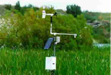
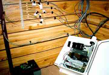
A private individual contacted NoHow Inc. to configure a site that monitored conditions of a wetlands area. Landowners gain valuable data with remote sites that can be used in the future. Whether you want to develop the land or you want to keep it the same, data needs to be collected to validate the environmental conditions. Destination Recreational Resorts
have the ability to let homeowners and guests know "real time"
environmental conditions at the Resort. From the data acquisition system,
the data is automated through our software, onto your web site. This service
benefits not only your current clients, but serves as a marketing tool
for future customers!
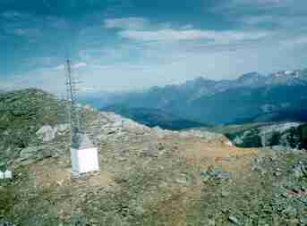
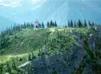
Weather and Snow Pack Data
NoHow Inc. has been involved with this project since it's inception in 1992. It is a cooperative study between the Nagaoka Institute of Snow and Ice , Center for Snow Science at Alta, University of Utah Civil Engineering Department,USDA Forest Service National Avalanche Center, and Alta Ski Lift Company. The sensors measures the velocity, impact pressures, and mass of moving avalanches.. The project is part of a Japanese and American agreement to study avalanches and their impacts on structures and the natural environment. Click here to see a picture of the pylon taking a hit!
|
TERMS OF USE
|

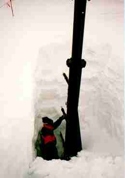
 Avalanche
Impact Pylon (left)
Avalanche
Impact Pylon (left)